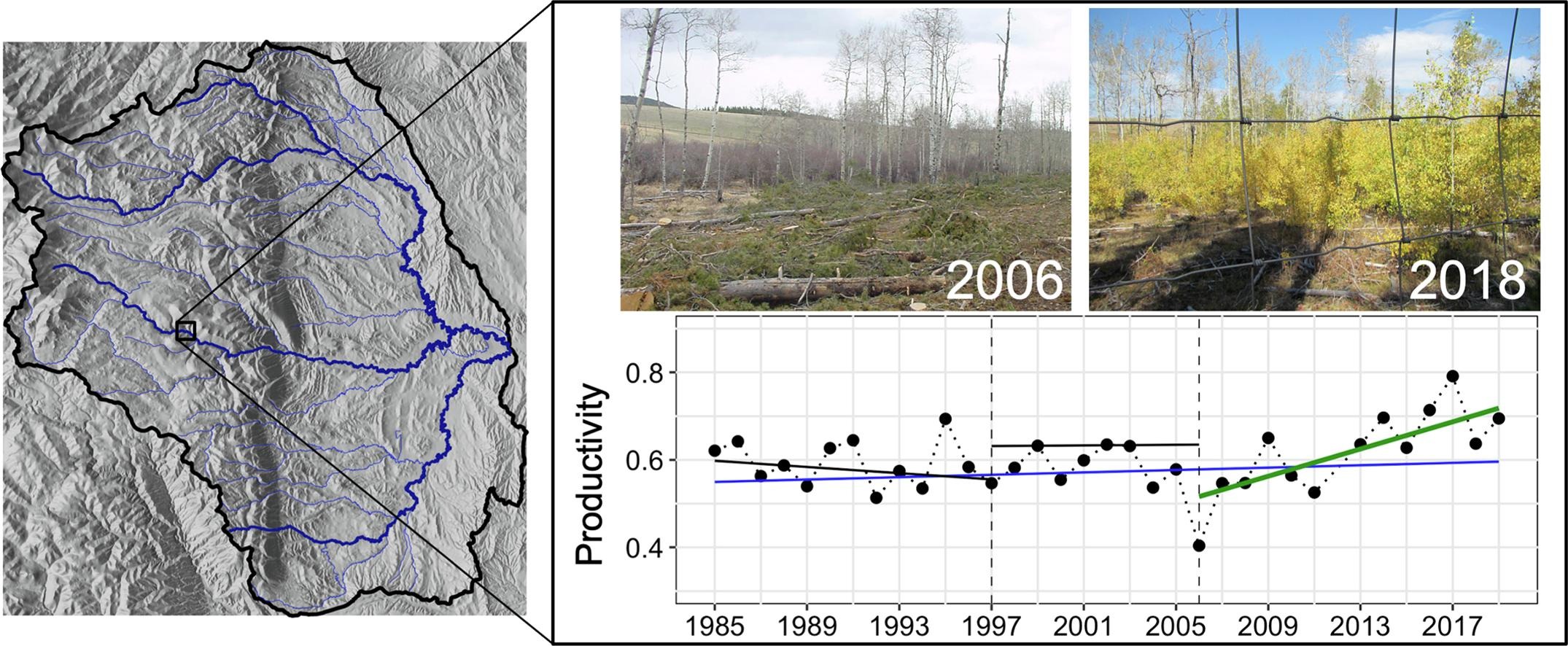
In our new paper, published in the journal Ecological Indicators, we developed a remote sensing framework to aid land managers in monitoring riparian deciduous systems for the role of climate as a top-down control on vegetation condition. Riparian systems provide a wealth of ecosystem services and are sensitive to a number of environmental stressors - yet they are notoriously difficult to monitor over large areas and long time periods. We found that greening and browning trends in the Bighorn Mountains (Wyoming) are driven by the prevailing climate of the measurement period at the landscape scale, even in riparian environments. Although much of the current deciduous landscape has been in a greening trend for the last decade-and-a-half, our findings suggest the widespread 1997–2006 browning trends could be a preview of the areas on the ground most vulnerable to future drought stress.
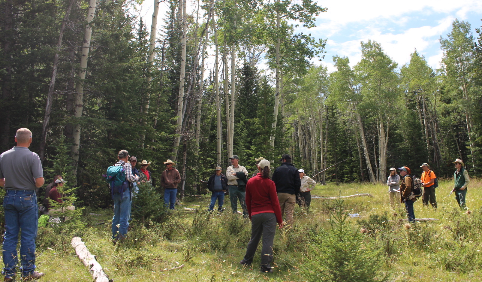
We think this work is noteworthy because it allows managers to first identify top-down trends as indicators to then assess the influence of bottom-up processes. Collectively, this information may be utilized by managers at local scales to select habitat treatment, restoration, or field monitoring locations, and in turn, move from monitoring at the scale of individual projects toward an understanding of long-term vegetation trends at the landscape scale. This project grew out of the 2016 and 2017 Wyoming Aspen Days workshop led by the Wyoming Game and Fish Department.
The paper and data are open access:
- Assal, T.J., Steen, V.A., Caltrider, T., Cundy, T., Stewart, C., Manning, N., Anderson, P.J., 2021. Monitoring long-term riparian vegetation trends to inform local habitat management in a mountainous environment. Ecol. Indic. 127, 107807. https://doi.org/10.1016/j.ecolind.2021.107807
- Assal, T.J., 2020. Data from: Monitoring long-term riparian vegetation trends to inform local habitat management in a mountainous environment. Knowledge Network for Biocomplexity. Santa Barbara, CA. https://doi.org/10.5063/F10C4T5X
- Assal, T.J., 2018. Bighorn Mountains, Wyoming Forest Mapping, 2013-2017: U.S. Geological Survey Data Release. Reston, Virginia. https://doi.org/doi:10.5066/P98OS2XK
Top image: Magic bus in the Bighorn National Forest, Wyoming.