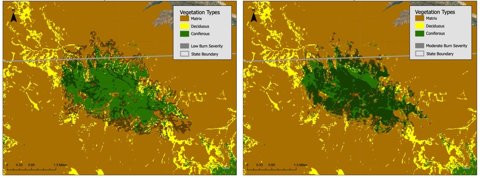
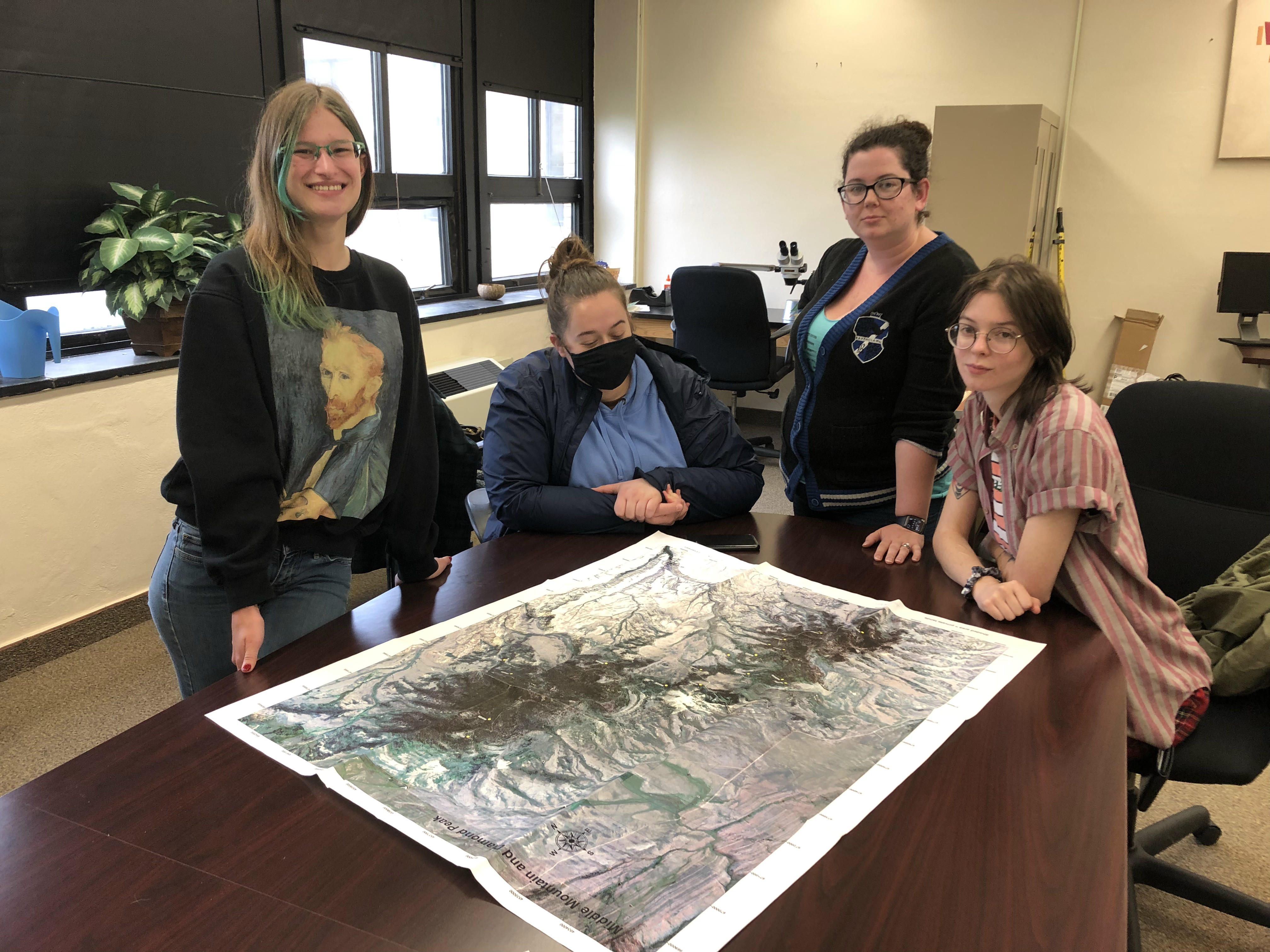
A group of undergraduate students in Tim’s Remote Sensing course shared their final project with a group of natural resource managers at the end of the semester. Their project gave them applied, hands-on experience AND filled an immediate data gap by providing information to local managers. The group was interested in fire and decided to analyze the burn severity of the West Fire in NW Colorado and SW Wyoming. The fire burned on Middle Mountain, one of Tim’s former study areas, during the summer of 2021. They chose this fire because we don’t know much about it and it is not yet in the Monitoring Trends in Burn Severity (MTBS) national database (there is usually a 1-2 year post-fire lag).

In short, they calculated the extent and severity of the fire using Landsat data, classified it into burn severity categories and intersected it with the vegetation data that Tim created as part of a previous study (Assal et al. 2015). The fire predominately burned the coniferous vegetation on Middle Mountain (some aspen) and very little burned north into Wyoming. Coniferous forest had nearly twice as much area burn; however, the majority of aspen burned at low severity, whereas coniferous vegetation burned at higher severity. This is not terribly surprising and it will be interesting to see if aspen might be able to expand their range (reduction of conifer overstory might trigger aspen regeneration through suckering) in the coming decade before the conifer trees recover. Well done Nae, Ana, Grace and Caitlin!


Top image: Looking southwest at Middle Mountain and Diamond Peak (Colorado) from Pine Mountain (Wyoming).
